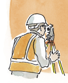
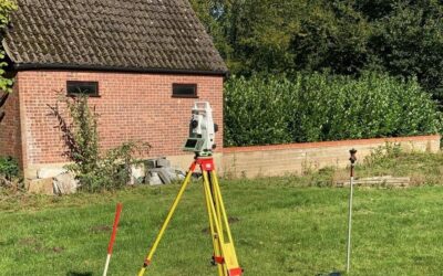
Topographical and Land Surveys
Land Surveys that may be required for planning applications:
We can provide quotes for all these Land Surveys that may be required for planning applications:
These surveys produce accurate and trusted measurements of land and can help inform a number of subsequent surveys and plans including:- arboriculture, flood risk assessments, highways plans and the production of architectural plans. The outcome of a topographical survey provides you with a plan (in PDF or CAD format).
Measured Building Surveys
Gives you an accurate record of a building’s dimensions, so that accurate floor and elevation plans can be compiled. These plans show all the elements and architectural features of a building. We’ll deliver the correct level of detail that your particular survey needs. This can vary the detail of the plans considerably from simple 2D floor plans through to full 3D Laser Scan models – which can produce accurate sections and elevations for a building. We can provide you with plans for your specific purposes, eg: DSEAR plans that show exclusions zones around specific pieces of plant or hazardous areas, to meet your particular requirements.
Recent case study: Measured Building Survey & Planning Permission for Iconic Grade II Listed Mill – Parker Planning Services
Geophysical Surveys
Geophysical Surveys detect items below the surface, typically used for detecting archaeological interest. Our surveyors often compliment these surveys with field-walking and a metal detector survey to provide you with a detailed understanding of the archaeological potential of your site. In some situations, Trial Trenching may be a more cost effective that a geophysical survey. Get in touch, to discuss the best methods for your individual case.
Digital Imaging and Laser Scanning
This service provides the full range of digital imaging – including survey data, LiDAR and photogrammetry and recording relating to archaeology to provide:
- Maps, plans, sections and distribution plots of remains discovered during site investigations using GIS (Geographical Information System) – using survey data from fieldwork.
- Floor plans, elevations or 3D visualisations (using Laser Scanning when needed) and photogrammetry – to create images of both archaeological remains and structures – using survey data from buildings.
- RTI (Reflectance Transformation Imaging) to analyse low relief objects, alongside the use of traditional photography and hand illustration to depict artefacts.
Get in contact if you require any of these land surveys for planning, for advice on how best to proceed and a quote.